
A mitigation bank is a wetland, stream or habitat site that has been restored, enhanced or preserved ahead of time, under an agreement with the U.S. Army Corps of Engineers and an Interagency Review Team (IRT), so it can sell credits to permit applicants whose projects have unavoidable impacts. The mitigation has to be done in advance of the permitted impact. When a Corps permit requires compensatory mitigation, buying bank credits is usually the simplest and fastest way to meet it, because the bank takes on the legal responsibility for the restoration once the credits are bought.
Cypress Environment & Infrastructure works on both sides of the mitigation credit market. We help landowners and sponsors plan, permit and monitor banks, and we help applicants figure out how many credits a project needs and whether a bank in the right service area has them. Our work covers mostly the Gulf coast region: Mississippi, Alabama, Florida and Louisiana, with other projects nationwide.
Reviewed by: Cindy Henderson, PE, PWS. Last reviewed: October 16, 2026
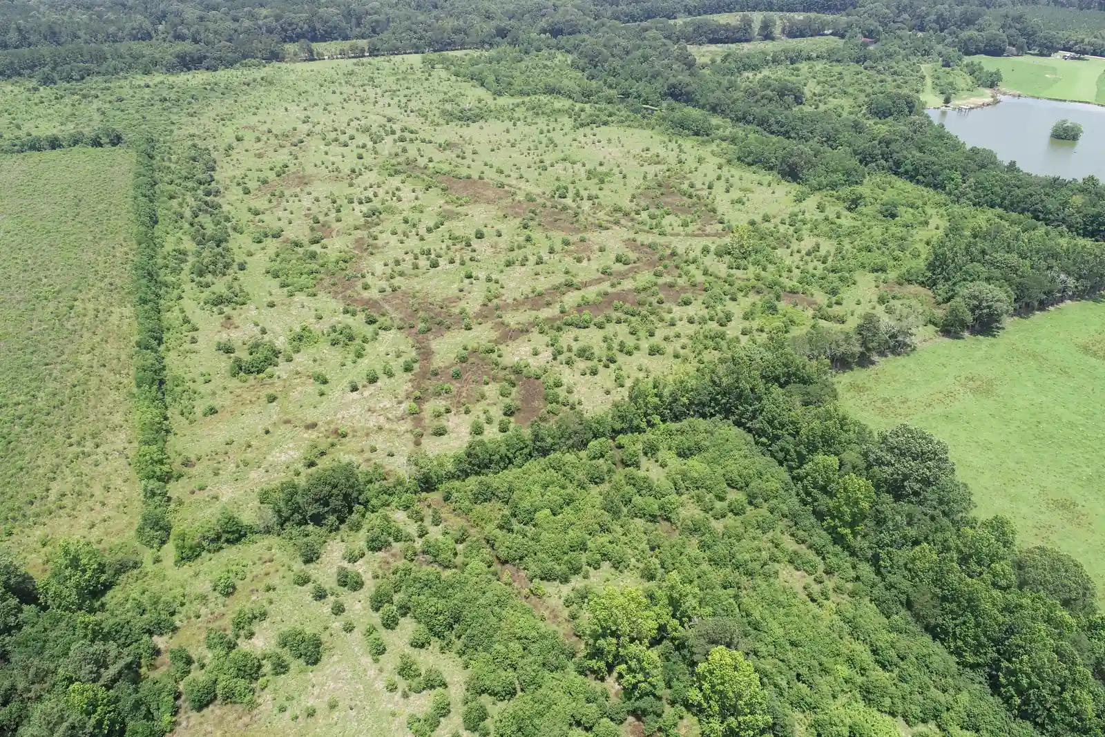
How mitigation banking works
Most credit purchases happen because a Section 404 permit (Clean Water Act, 33 U.S.C. 1344) or a Section 10 permit (Rivers and Harbors Act, 33 U.S.C. 403) allows some loss of aquatic resources that cannot be avoided. The Corps then requires the applicant to replace those functions.
- Avoid and minimize first. The Corps expects an applicant to show that impacts were avoided and reduced before mitigation is considered (40 CFR 230.10; 33 CFR 332.1(c)).
- Assess the impact. A functional or condition assessment scores the wetlands or streams on the project site and the loss the project will cause. The method depends on the Corps district and the state.
- Set the credit need. The assessment gives the number and type of credits (for example, bottomland hardwood, pine savanna, tidal marsh or stream credits).
- Buy from a bank whose service area covers the site. The sponsor sells the credits, records the sale, and the credits come off the bank’s ledger in RIBITS, the Corps’ public tracking system. The permit is then finalized.
Mitigation banks, in-lieu fee programs and permittee-responsible mitigation are different but related ways to meet the same requirement. The 2008 Compensatory Mitigation Rule (33 CFR Part 332, 40 CFR Part 230 Subpart J) generally prefers bank credits, then in-lieu fee credits, then permittee-responsible mitigation, because bank sites are built, approved and monitored before the impact happens (33 CFR 332.3(b)).
Read more in What is mitigation banking? and Wetland mitigation credits: buy vs. establish a bank.
Types of banks
- Wetland banks restore, enhance or preserve wetlands such as bottomland hardwood forest, cypress-tupelo swamp, wet pine savanna and tidal marsh.
- Stream banks restore channel form, floodplain connection and riparian buffers. See What is stream mitigation?
- Conservation banks protect habitat for species listed under the Endangered Species Act and are approved by the U.S. Fish and Wildlife Service rather than the Corps.
- Water quality and nutrient banks are state programs in some places and follow their own rules.
Who approves banks on the Gulf Coast
The Corps district that covers the bank chairs its IRT. Federal members usually include EPA, the U.S. Fish and Wildlife Service and, in coastal areas, NOAA Fisheries; state agencies join for their own programs. See What is an IRT? and What is a Corps district?
| State | Corps district(s) | State agencies often involved |
|---|---|---|
| Mississippi | Mobile (south and east), Vicksburg (west and north) | MDEQ (401 certification); Mississippi Department of Marine Resources in Hancock, Harrison and Jackson Counties |
| Alabama | Mobile | ADEM (401 certification and coastal program in Baldwin and Mobile Counties) |
| Florida | Mobile (western Panhandle), Jacksonville (rest of the state) | FDEP and the water management districts, which permit state mitigation banks under section 373.4136, F.S. and Chapter 62-342, F.A.C. |
| Louisiana | New Orleans, Vicksburg (north) | Office of Coastal Management (coastal use permits in the Coastal Zone); LDEQ (401 certification) |
District boundaries follow watersheds, not state lines, so confirm the district for your site before you plan around a bank.
Florida: federal and state tracks
Florida wetland mitigation usually runs on two tracks at once: a federal Section 404 permit from the Corps (Jacksonville District for most of the state, Mobile District in the western Panhandle) and a state Environmental Resource Permit (ERP) from FDEP or a water management district under Chapter 62-330, F.A.C. The two programs are different but related, and a single bank credit purchase can often satisfy both when the bank holds both federal and state approval.
- State assessment: Florida uses the Uniform Mitigation Assessment Method (UMAM, Chapter 62-345, F.A.C.) to score impacts and mitigation. The Corps also uses UMAM in Florida, though its credit decisions are its own.
- State banks: FDEP and the water management districts permit mitigation banks under section 373.4136, F.S. and Chapter 62-342, F.A.C. Many Florida banks also have a federal instrument approved through the Corps IRT.
- Service areas: each bank’s state permit and federal instrument set where it can sell; they don’t always match.
- Alternatives: where no bank serves the site, regional offsite mitigation areas, in-lieu fee programs or permittee-responsible mitigation may be options. Let us know if you want to explore these options or set up your own bank.
Cypress delineates wetlands in Florida, scores impacts with UMAM and helps applicants find mitigation that both agencies will accept. See wetland delineation in Florida.
Building a bank: the sponsor path
- Site screening. Wetland delineation, soils, hydrology, land-use history, and threatened and endangered species surveys show whether the land can produce credits and what kind.
- Prospectus. The sponsor submits a prospectus; the Corps puts it on public notice and the IRT comments.
- Mitigation Banking Instrument (MBI). The draft and final instrument set the service area, credit types, performance standards, financial assurances and credit release schedule.
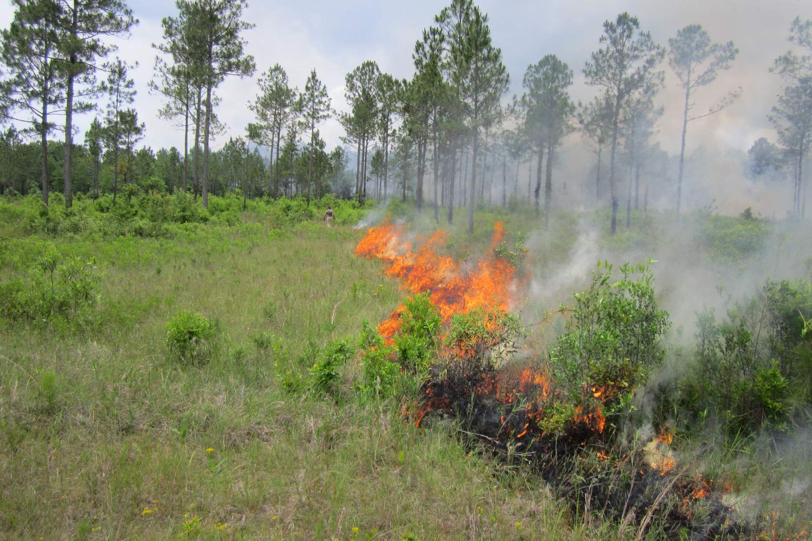
- Design and construction. Hydrology restoration, grading, plugging ditches, planting and invasive species control.
- Monitoring and credit release. Credits are released in stages as the site meets its performance standards.
- Long-term stewardship. A conservation easement or similar protection, a long-term management plan and an endowment keep the site protected after the bank closes.
The federal rule sets review deadlines for each step (33 CFR 332.8(d)), but actual timelines depend on the district, the site and how complete the submittals are. Read the full sequence in Establishing a mitigation bank.
Buying credits: what applicants should know
A credit purchase typically involves three parties:
- The Applicant (and their Consultant) is finalizing an environmental permit and needs credits to satisfy the mitigation requirement of the permit.
- The Mitigation Banker has compensatory mitigation credits for sale of the type required by the permit.
- The Agency or Agencies have regulatory oversight over the environmental permit being sought by the Applicant and the mitigation bank operated by the Banker.
- Service area matters most. A bank can only sell to impacts inside the service area in its instrument, usually defined by watershed.
- Credit type has to match. Tidal marsh impacts generally need tidal marsh credits; stream impacts need stream credits.
- Availability changes. Released credits, not total credits, are what a bank can sell today. RIBITS shows ledgers for most banks.
- The bank holds the responsibility. Once the Corps accepts the purchase, the sponsor, not the permittee, is responsible for the mitigation site (33 CFR 332.3(l)).
Credit prices are set by each bank and vary widely by watershed and credit type, so we don’t publish them. Agency permit fees are separate: a Corps individual permit costs $100 for commercial projects and $10 for individuals (33 CFR 325.1(f)), and state 401 and coastal fees vary.
Mitigation banking experience
Cypress staff have performed hundreds of wetland delineations and wetland mapping studies, from small sites to studies of up to 110,000 acres and linear projects hundreds of miles long. On bank sites we provide delineation, threatened and endangered species surveys, wetland function and stream assessments, permitting support and restoration planning.
- Mei Gum Bank, Louisiana. A pending mitigation bank of more than 300 acres on a former silviculture site in the town of Robert, Tangipahoa Parish. Cypress is providing bank design and permitting, along with wetland delineation, endangered species surveys and wetland ecological assessments.
- Lea Farm Mitigation Bank, Louisiana. A proposed bank of more than 400 acres in Pride, East Baton Rouge Parish, producing bottomland hardwood credits on a former agricultural site. Cypress is providing bank design and permitting, along with wetland delineation, endangered species surveys and wetland ecological assessments.
- Texas Flat Mitigation Bank, Mississippi (Mobile District). 1,985-acre wetland delineation, plus endangered species surveys, wetland function and stream assessments, permitting and restoration planning. Project page
- Turtleskin Creek Mitigation Bank, Mississippi (Vicksburg District). 2,740-acre wetland delineation, plus endangered species surveys, wetland function and stream assessments, permitting and restoration planning.
- Little Biloxi River Mitigation Bank, Mississippi. Cypress carried the bank through to completion, with 100% of its credits released. Project page
- Lower Devil’s Swamp Mitigation Bank, Louisiana. Cypress carried the bank through to completion, with 100% of its credits released. Project page
- Private client. 200-mile linear delineation for a utility corridor from Mobile, Alabama, to Jackson, Mississippi, with endangered species surveys, stream characterization, environmental assessment and permitting.
What we’d do first
- Confirm the Corps district and the bank service areas that cover your site.
- Delineate the wetlands and streams and score them with the district’s assessment method.
- Show avoidance and minimization in the layout before sizing mitigation.
- Check RIBITS and the banks for released credits of the right type.
- If no bank fits, compare in-lieu fee and permittee-responsible options, or, for landowners, whether the land could become a bank.
Limits (as of October 16, 2026): This page summarizes federal and state rules for general information. Requirements change, and each Corps district and IRT applies them to specific sites. It is not legal advice.
Talk to us about a bank site or a credit need: contact Cypress.