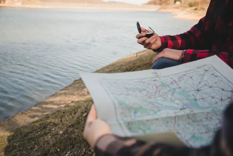
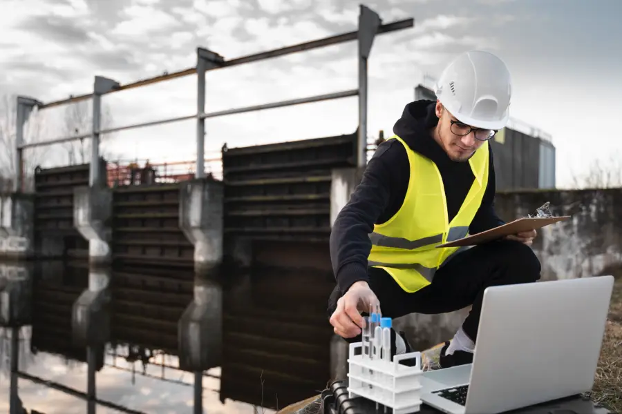
Across the globe, oceans, rivers, and lakes are vital for transportation, commerce, and environmental balance. Yet what lies beneath the surface often remains unseen without precise measurement. This is where hydrographic surveying comes in. By mapping water depths, underwater features, and coastal zones, hydrographic surveys provide the data needed for safe navigation, infrastructure development, and environmental management.
In this article, we’ll answer the question “what is hydrographic surveying?”, review its methods and objectives, and explain why accurate hydrographic data is so important for civil engineering and maritime activities.
What Is Hydrographic Surveying?
Hydrographic surveying is the science of measuring and mapping physical features of bodies of water and the land areas adjacent to them. It involves determining water depths, tides, currents, shoreline configurations, and the position of underwater hazards.
The role of hydrographic surveying extends beyond simple mapping. It ensures the safe passage of ships, guides the design of harbors and bridges, supports dredging operations, and provides critical information for coastal management and environmental monitoring.
Who Is a Hydrographic Surveyor?
A hydrographic surveyor is a professional trained in collecting, analyzing, and presenting hydrographic data. They use specialized instruments like echo sounders, GPS, and sonar to chart underwater environments. Hydrographic surveyors often work with civil engineers, maritime authorities, and scientists, showing another way civil engineers help the environment through data-driven protection of waterways.

Objectives and Scope of Hydrographic Surveying
The objectives of hydrographic surveying are broad, reflecting its many practical applications.
Key goals include:
- Determining depths and contours of seas, rivers, lakes, and harbors.
- Locating underwater obstructions such as rocks, wrecks, or sandbars.
- Monitoring tides, currents, and wave patterns that affect navigation and construction.
- Collecting data for coastal zone management, erosion studies, and ecosystem restoration. In some cases, this also informs long-term land use decisions like establishing a conservation easement near coastal habitats.
- Supporting design and maintenance of marine and hydraulic structures like harbors, dams, and offshore platforms.
The scope of hydrographic surveys can range from small rivers and inland lakes to global oceanographic mapping projects.
Methods Used in Hydrographic Surveying
Different hydrographic survey methods are employed depending on the environment, accuracy required, and project objectives.
Sounding Methods
Sounding refers to measuring water depth at specific points.
- Lead line sounding: The oldest method, using a weighted line lowered into the water.
- Single-beam echo sounders: Emit sound waves directly downward to measure depth.
- Multi-beam echo sounders: Cover a wider area with multiple beams, producing high-resolution seabed maps.
Position Fixing
Accurate positioning is essential for correlating depth data with geographic coordinates.
- GPS and GNSS provide precise location data during surveys.
- Traditional triangulation methods are sometimes used in smaller inland projects.
Remote Sensing and Sona
- Side-scan sonar produces detailed images of the seabed, useful for detecting objects and obstructions, often integrated with GIS mapping and GIS in environmental management for precise geospatial analysis.
- LIDAR bathymetry: Uses airborne lasers to map shallow coastal waters.
Tide and Current Measurement
Hydrographic surveys also record tides, currents, and water level fluctuations to adjust depth data for accuracy.
Types of Hydrographic Surveys
Hydrographic surveys can be classified based on purpose and scale:
- Nautical charting surveys: For producing navigational charts and ensuring maritime safety.
- Engineering surveys: For designing and maintaining ports, bridges, dams, and coastal structures.
- Hydrological surveys: For studying rivers, reservoirs, and inland waterways.
- Offshore surveys: For oil and gas exploration, cable laying, and renewable energy projects.
- Environmental surveys: For monitoring ecosystems, coastal erosion, and water quality.
Each type supports specific industries but contributes collectively to the safe and sustainable use of aquatic environments.
Applications of Hydrographic Surveying
The applications of hydrographic surveying are wide-ranging, extending from navigation to environmental protection.
- Safe navigation: Mapping water depths and hazards ensures ships can travel safely through ports, rivers, and coastal areas.
- Port and harbor design: Engineers rely on accurate data for dredging, construction, and expansion of maritime infrastructure.
- Bridge and dam projects: Surveys determine underwater conditions crucial for foundation design.
- Offshore energy: Supports wind farms, oil rigs, and pipeline routing.
- Disaster response: Helps assess changes in riverbeds or coastlines after floods, hurricanes, or tsunamis.
Hydrographic surveys are also vital for climate studies, as they provide long-term records of sea-level rise, sediment transport, and shoreline changes.
Importance of Hydrographic Surveying in Civil Engineering
So, what are hydrographic surveys and why are they important? The answer lies in their role in both safety and infrastructure development.
- Safe Navigation: Civil engineers and maritime authorities rely on hydrographic data to design channels, harbors, and navigation aids that prevent accidents.
- Coastal and River Management: Surveys provide insights into erosion, sedimentation, and flood risks, helping communities plan for resilience through stormwater management and regulatory tools like wetland delineation.
- Infrastructure Development: Bridges, tunnels, and offshore structures require precise underwater measurements for safe and durable design.
- Environmental Protection: Hydrographic data helps monitor sensitive habitats, manage marine resources, and ensure compliance with environmental regulations.

Conclusion
So, what is hydrographic surveying? It is the science and practice of measuring and mapping water depths, underwater features, and coastal zones. With objectives ranging from safe navigation to environmental monitoring, hydrographic surveys are indispensable in modern civil and environmental engineering.
Whether using sonar, GPS, or LIDAR, the methods of hydrographic surveying provide data for designing harbors, protecting coastlines, managing water resources, and ensuring safe shipping. The importance of hydrographic surveys lies in their role as a bridge between the unseen underwater world and the critical decisions engineers and planners make above the surface.
Accurate hydrographic data safeguards lives, protects ecosystems, and enables sustainable use of waterways, making hydrographic surveying one of the most important branches of surveying today.
