
Engineering
FEMA Map Decoder: Flood Zones and Base Flood Elevation
A FEMA flood zone is a map label. BFE is the 1-percent-annual-chance water-surface elevation. Together they set the NFIP path — they do not mean the lot will not flood.

A FEMA flood zone is a map label. BFE is the 1-percent-annual-chance water-surface elevation. Together they set the NFIP path — they do not mean the lot will not flood.
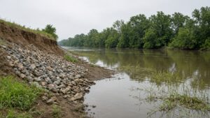
A no-rise certification is an engineer’s showing that floodway work will not raise the base flood elevation — 0.00 feet. It is not a FEMA map change and not a permit.
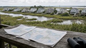
LOMA, LOMR-F, LOMR, and CLOMR are different FEMA letters of map change. They are not interchangeable, and none of them is a building permit.
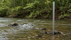
Hydrology is how much water. Hydraulics is where it goes. An H&H model is those two questions in a form a permit desk can argue with — not a rendering.
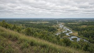
A watershed management plan describes how a drainage basin works and what the sponsors will do about it. It is not a SWPPP, a 404 permit, or a one-pad stormwater report.
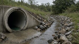
Structural stormwater is the hard system: pipes, ponds, weirs, pumps, outfalls. It is not the opposite of green infrastructure. Most Gulf Coast sites need both.