
A floodplain is the low, relatively flat land next to a river, creek, bayou or coastline that floodwater spreads across when the channel can’t carry it all. Every floodplain is different, but they all do the same job: they store and convey water during a flood. That’s why building in one is possible but not simple. On the Gulf Coast, a large share of buildable land sits in or near one, so most owners will deal with a floodplain sooner or later.
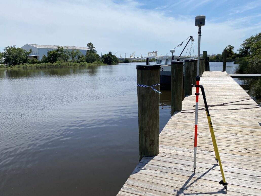
How floodplains form
A floodplain is built by the river itself. When a stream overtops its banks, water spreading onto the overbank slows down and drops the sediment it was carrying. Coarser material settles first, close to the channel, and over time it can form natural levees. Finer silt and clay settle farther out. Meanders also migrate across the valley, eroding the outside of bends and depositing point bars on the inside. After centuries of this, the result is a wide, flat, fertile surface that floods again and again. Coastal floodplains are different but related: they are shaped by storm surge, tides and waves, as well as by rainfall runoff.
Common features of a floodplain include:
- Natural levees along the channel
- Backswamps and wetlands in the low areas
- Oxbow lakes and abandoned channels
- Deep alluvial soils
- Dense bottomland hardwood or marsh vegetation
Floodplain vs. floodway vs. flood fringe
These terms are different but related, and the difference matters more than anything else on this page.
- Floodplain: The full area flooded by a given event. On FEMA maps, the regulatory floodplain is the 1%-annual-chance (“100-year”) flood, shown as the Special Flood Hazard Area (SFHA).
- Floodway: The channel plus the adjacent land that must be kept open to carry the base flood. Under federal rules, communities set the floodway so it can carry the base flood without raising the water surface more than one foot at any point. Inside the floodway, fill, new construction and other development is prohibited unless an engineering analysis shows it will cause no increase in flood levels.
- Flood fringe: The rest of the SFHA, outside the floodway. Development there is generally allowed but must meet the community’s elevation and construction standards.
In plain terms, the fringe is where you can build with care. The floodway is where you need proof.
Flood zones and base flood elevation
FEMA’s Flood Insurance Rate Maps (FIRMs) label the SFHA with zones. Zone A is a high-risk area with no detailed elevations. Zone AE is a high-risk area with a published base flood elevation (BFE), the predicted water surface of the 1%-annual-chance flood. VE is a coastal high-hazard area with wave action. Zone X is moderate or minimal risk. The map is a regulatory overlay, not a forecast. Water doesn’t read FIRMs, and a site in Zone X can still flood from a blocked outfall or a storm bigger than the map assumes. For a walk-through, see how to read a FEMA flood map and our guide to flood zones and base flood elevation.
Can you build in a floodplain?
Usually, yes. What it takes depends on where on the map the work falls.
1. Floodplain development permit. Communities in the National Flood Insurance Program must require permits for development in the SFHA. That includes fill, grading and accessory structures, not just buildings. Start with the local floodplain administrator, usually in the city or county planning or building office.
2. No-rise certification in the floodway. For any work in a mapped floodway, the community needs hydrologic and hydraulic analysis showing no increase in base flood elevations. We always request the effective FEMA model first, if only to confirm we’re working from the right one. Then we add the project to the model and compare. See what a no-rise certification involves. If a project can’t show no rise, the path runs through a conditional map revision instead. See LOMR, LOMA and CLOMR explained.
3. Elevation and freeboard. In A and AE zones, new and substantially improved residential buildings must have their lowest floor at or above the BFE. Non-residential buildings can be elevated or dry-floodproofed. Many local ordinances add freeboard, extra height above the BFE, as a margin of safety. Check the local requirement before design starts, because it sets the finished-floor elevation, the foundation and the cost of fill. Enclosed areas below the lowest floor need flood openings so water can equalize.
4. Coastal rules. In V zones, buildings go on piles or columns, the area below must be open or use breakaway walls, and fill can’t be used for structural support.
Flood insurance: what owners should know
- Standard homeowners policies don’t cover flood. That’s a separate policy, through the NFIP or a private carrier.
- If a building is in an SFHA and carries a mortgage from a federally regulated or insured lender, flood insurance is mandatory.
- New NFIP policies generally carry a 30-day waiting period, so you can’t buy one the week a storm is forecast.
- A building elevated above the BFE is less exposed, and elevation is one of the factors in its flood insurance rating.
Why surveyed topography beats LiDAR in a vegetated floodplain
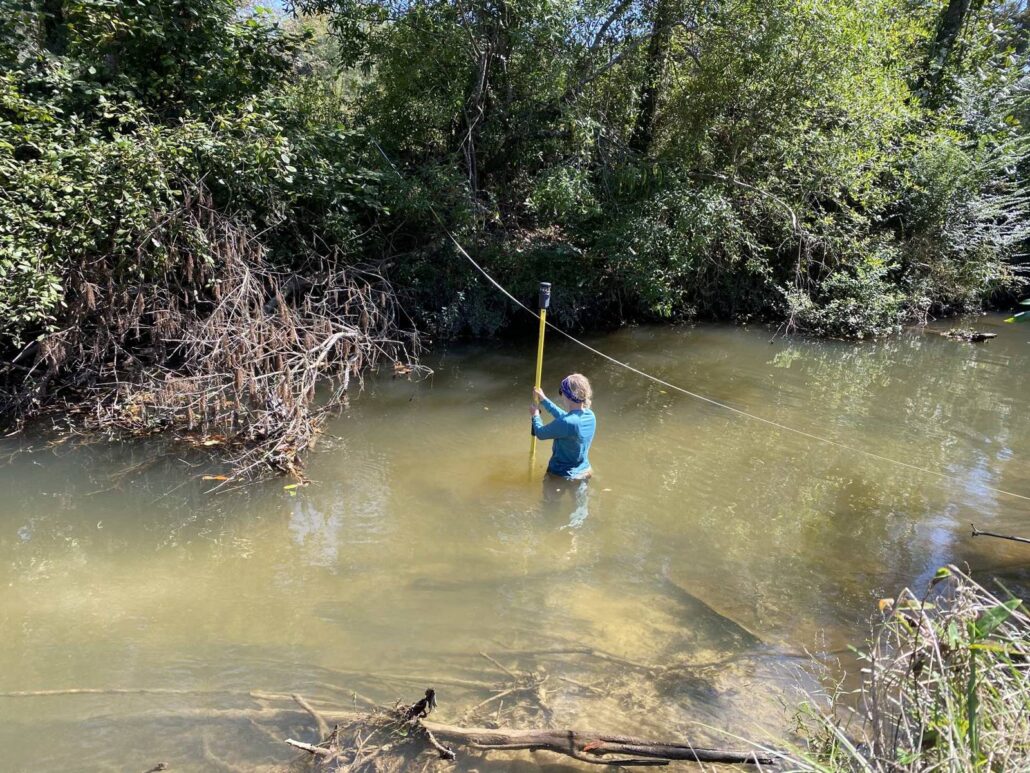
Most floodplain studies start with LiDAR, and for many sites LiDAR alone is enough. But floodplains are usually wooded or brushy, and LiDAR tends to read high where vegetation is dense, because some returns never reach the true ground. A couple of surveyed cross sections sharpen the model where it matters. When a no-rise result is close, that on-site survey is often what takes the project over the line to a passing result.
Floodplain projects we’ve worked on
Cypress Environment & Infrastructure works on floodplain questions across Mississippi, Alabama, Florida and Louisiana. A few examples:
- Stormwater and flood study, Magnolia Farms, Lucedale, MS (2022). For Vincent Properties, we studied a planned 141-lot subdivision in George County where runoff passes under Mill Street Extension, a crossing with a history of flooding. Using NRCS TR-55 hydrology and a 2D HEC-RAS model, we compared pre- and post-development runoff. We found that about 8.4 acre-feet of storage would hold the 25-year, 24-hour storm at existing levels, whether through a detention pond, lot-level green infrastructure or a combination.
- Floodway compliance reviews, Mobile County Parks, AL (2021). We reviewed proposed kayak launch sites at Lewis Landing on Threemile Creek and Crenshaw on Gunnison Creek, both in the mapped floodway, for floodplain compliance.
- Flood-frequency study, Africatown, AL. We completed a flood-frequency study on Chickasaw Creek for Mobile County Parks.
- No-rise certifications for private owners, AL (2021). These covered a barn in the Coosa River floodway near Wetumpka and a boathouse on the Blackwater River in Baldwin County. Both showed no rise.
Next steps
If you’re buying, building or expanding near a floodplain, settle the map questions before design starts. Find the zone and BFE, check whether any work touches the floodway, and confirm the local freeboard requirement. Our hydrologic and hydraulic modeling and floodplain management work supports owners, developers and public agencies through permits and map changes. Contact Cypress to talk through your site.
Frequently asked questions
What is a floodplain?
Low, flat land next to a river, creek, bayou or coastline that floodwater covers when the channel overflows. FEMA’s regulatory floodplain is the area with a 1% annual chance of flooding, called the Special Flood Hazard Area.
What is the difference between a floodplain and a floodway?
The floodway is the channel plus the nearby land that must stay open to carry the base flood. The rest of the floodplain is the flood fringe. Development in the floodway requires an engineering analysis showing no increase in flood levels.
How is a floodplain formed?
Repeated overbank flooding deposits sediment next to the channel, and meanders migrate across the valley, building a wide, flat surface over time.
Can you build in a floodplain?
Usually, with a local floodplain development permit and with the lowest floor at or above the base flood elevation plus any local freeboard. Floodway work also needs a no-rise certification.
Is flood insurance required in a floodplain?
It’s required for buildings in a Special Flood Hazard Area that have a mortgage from a federally regulated or insured lender. Standard homeowners policies don’t cover flood.
Is LiDAR good enough for a floodplain study?
Often, yes. But LiDAR tends to read high under dense vegetation, so a few surveyed cross sections can sharpen the model and decide a close no-rise result.